
- Details
- More images
Products description
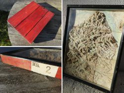
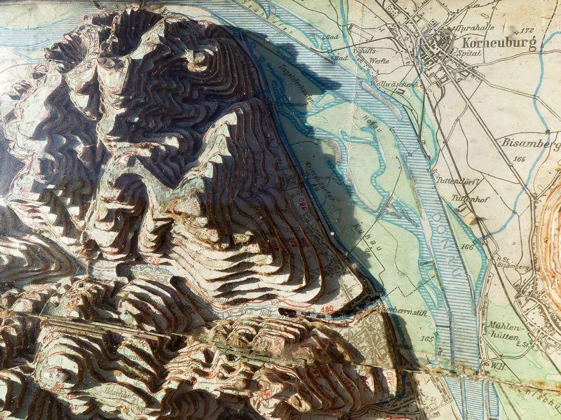
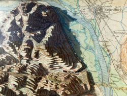
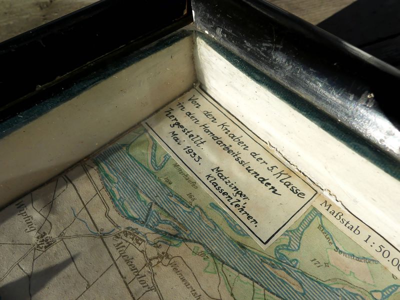
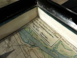
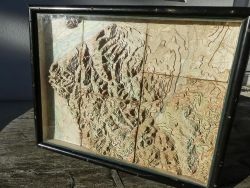
Extremely rare relief map (3D map, teaching aids) in a showcase from the Art Deco - "Sculptural Representation - Surrounding Area Vienna" from 1933; the card was made in May 1933 by 5th grade students; during the manual labor lessons; the map is on a scale of 1: 50,000 and each layer is 20 meters in altitude (1 cm = 500 m); the map shows the area Alterlaa in the south to the Danube and Korneuburg in the north; The map consists of glued cardboard segments and is based on the geoplastic artist "Hugo Fischer von See" (1831-1890), who designed a very similar map for the Vienna World Exhibition in 1873 - or Otto von Altvatter (artist) who did one in the same period Plastic representation of the inner kk The capital and residence city of Vienna; the relief map offered is a unique piece and gives an insight into the development of the 3-dimensional maps; a museum piece; a hook for hanging on the back; traces of use according to age; measurements: approx. 40 x 50.5 x 5.5 cm


Quick purchase
Welcome back!
Newsletter subscription
E-mail address:
The newsletter can be canceled here or in your Account at any time.
Social Media
Payment methods
Raritaeten-Shop © 2026 | Template © 2009-2026 by modified eCommerce Shopsoftware
modified eCommerce Shopsoftware © 2009-2026